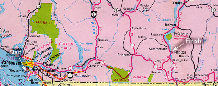
 This is a map showing the route taken on the Vacation. It is an old map but does not quite date back to the correct time. The roads around the Vancouver area were not the divided freeway shown on this map. The mountainous part of the trip is between Hope and Princeton through Manning Park. Only local traffic uses the Hope Princeton now since a new super highway was built between Hope and Merritt and through to Peachland. This cut the travel time to the Okanagan Valley by several hours. For those of you unfamiliar with British Columbia the yellow portion at the bottom is Washington State in the US.
W.G.A. Design - Geoff`s Music - Geoff`s Graphics - Geoff`s World
Copyright © W.G.Anderson / 2009 All rights reserved |